At 1183 Como Boulevard West, a short walk from the lake path, stands the house where the architect Augustus Gauger lived. Gauger designed churches and homes in Saint Paul from 1878 into the late 1920s, and he chose to live on the curving streets along the south shore of Como Lake. His neighbor and fellow architect Charles Wallingford built his own house at 1259 Como Boulevard West in 1886.
Those two houses are a good place to start reading Como Park, because they are the oldest layer of the neighborhood that most residents pass every week. Head north or west from there and the houses get younger in a fairly steady line. You move through streetcar-era bungalows, then Period Revival houses along the parkways, and finally the postwar blocks that filled in the north end after World War II. The neighborhood went up in waves, and each wave left a recognizable kind of house on its own set of streets.
Before the houses, the park
Saint Paul acquired the land for Como Park in 1873, after the landscape architect Horace Cleveland pushed the city to build a connected system of parks. In 1887 the city hired Cleveland to design the park's roads and landscape. His naturalistic approach kept the land's contours and laid out curving drives.
Early real estate bets on the lake mostly failed. According to the city's District 10 Como Community Plan, McKenty's Como Villas plat and the Como Addition sold few lots and saw little construction. For a time the lake's main buildings were hotels, and few people lived there. One much older house from that period survives away from the lake: the Italianate George Hazzard House at 1371–1373 West Nebraska Avenue, built around 1870. It went up before the park existed.
Warrendale: the curving streets on the south shore
The first plat that produced lasting houses was Warrendale. It covers 52 acres on the south shore of Como Lake, and the city's 1983 Historic Sites Survey records it as platted in 1884 as an upscale residential suburb. The streets follow the curve of the lakeshore, and the original plat had nine blocks and three small park triangles. A Saint Paul context study on residential real estate development names Cary I. Warren, George W. Cross and F.D. Hager as its owners and promoters.
Those curves are why driving Warrendale feels different from the grid a few blocks east. Streets like Van Slyke Avenue and Como Boulevard West bend with the water rather than running at right angles.
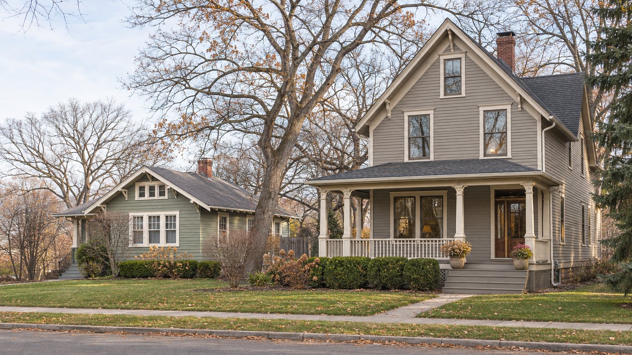
Warrendale never became the large fashionable suburb its developers had in mind. Still, a number of ornate Queen Anne mansions went up on Como Boulevard West and Van Slyke Avenue in the 1880s and 1890s, several of them designed by Gauger and Wallingford, who both lived in the neighborhood. Because the plat sold slowly, the Queen Annes are spread out instead of lining whole blocks. They share the curving streets with houses built in later decades, and that mix of eras is what Warrendale looks like today.
The 1983 survey named Warrendale a potential historic district and listed the Gauger and Wallingford houses among the area's significant properties. The District 10 Como Community Plan, which the Saint Paul City Council adopted on February 3, 2016, recommended surveying the Warrendale area again with an eye toward possible designation.
The streetcar fills in the middle
Warrendale's slow start points to the main problem with early Como: getting there was hard. That changed when the streetcar reached Como in the early 1890s. In 1898 the Como-Harriet interurban line began connecting Saint Paul and Minneapolis through the park, with a station and bridge at the park's transit entrance. The Como History group's account of the line traces it until the last cars ran in the early 1950s.
Jobs came along with transit. The Como Shops opened in 1885, and the neighborhood between Como Avenue and the railroad tracks grew up around them. The 1983 survey found Como Park's largest group of Victorian houses there, along Como Avenue west of Lexington Parkway. So the neighborhood's second cluster of 19th-century houses grew up around railroad work rather than around the lake.
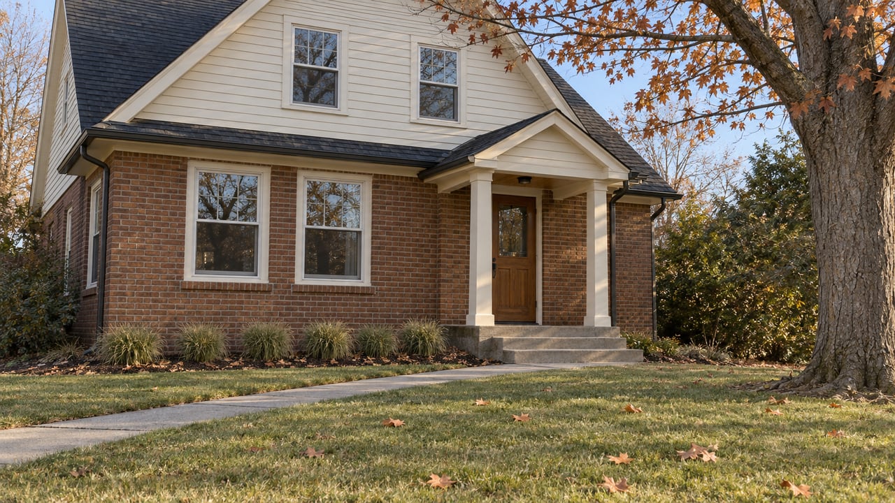
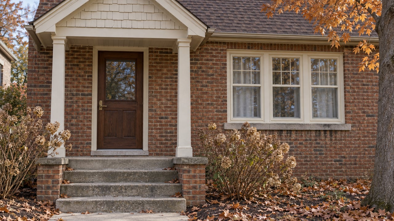
Next came the bungalows. A 2016 historic study of Saint Paul's Grand Round parkway system describes Como Avenue between Hamline and Aurora as lined with Craftsman bungalows and Period Revival houses built between 1900 and 1930. The 1997 West Como plan dates most residential construction in its study area to those same three decades. More plats around the lake followed the same timing. Royal Oaks, across the lake from the pavilion, was marketed in the early 1900s as a 60-lot addition, and E.L. Dodge promoted the Lake Park Addition in 1912.
Midway Parkway: one street, about twenty years
Midway Parkway is the easiest place to see the streetcar era all at once. According to the Grand Round study, most houses along the parkway were finished in about twenty years, roughly 1912 to 1930. They range from small frame bungalows to large Period Revival houses trimmed in brick and stone. When one street is built within twenty years, the scale stays consistent even as the styles change. That is why a walk down Midway Parkway feels unusually even from block to block.
The parkway also divides two kinds of housing. The 1997 West Como plan found a mix of single-family houses, duplexes and multifamily buildings south of Midway Parkway. North of the parkway, the plan's study area was almost entirely single-family.
At the far west edge, Como Avenue runs along the south boundary of the State Fairgrounds. The Grand Round study notes a small commercial node at Como and Snelling dating from about 1915 to 1940. It also notes that only about a block of early 20th-century houses sits east of Raymond Avenue.
North Como: the postwar layer
Keep going north and the timeline jumps ahead. The 1983 survey describes most of Como Park's northern area as undeveloped until after World War II. A 1983 history from the Ramsey County Historical Society gives the reason: returning servicemen needed housing, and the north and northeast sections around the shops filled in to meet that demand.
Wheelock Parkway shows where the two eras meet. The Grand Round study describes the corridor as a patchwork of 1920s and 1930s Period Revival houses next to houses from the 1950s and 1960s, with some stretches that feel like a postwar suburb. A Period Revival house a few doors from a 1950s house is the clearest sign that one wave of building stopped and the next began on the same street.
The neighborhood as a whole
Even the postwar wave started early enough that the District 10 plan, adopted in February 2016, reports that more than 80 percent of Como Park's homes were built before 1960. Victorians stand on the lakeside curves of Warrendale and along Como Avenue near the old shops. Bungalows and Period Revival houses line the streetcar-era blocks and the parkways. Postwar houses fill in the north.
The District 10 Como Community Council's long-form Como history tour is a good companion for a walk. It covers the streetcar's arrival at the park and Gauger's house on Como Boulevard. Starting on the south shore and heading north through the parkways covers about seventy years of Saint Paul building. For more on what is changing around the lake now, read our posts on the McMurray Fields stormwater project and the zoo's habitat renovation, or browse the Como Park neighborhood page.
I love photographing houses like these, from Warrendale's Queen Annes to the bungalows along Midway Parkway. If you own one of Como Park's older homes and want to know how its age and story will come across to buyers, Karin Rice Duncanson would be glad to walk through it with you. Let's connect.